Happy National GIS Day! GIS or “Geographical Information Systems” is a digital system for storing and analyzing geographic data. We celebrate GIS Day to help others learn geography and the real-world applications of GIS that we use in our society every day!
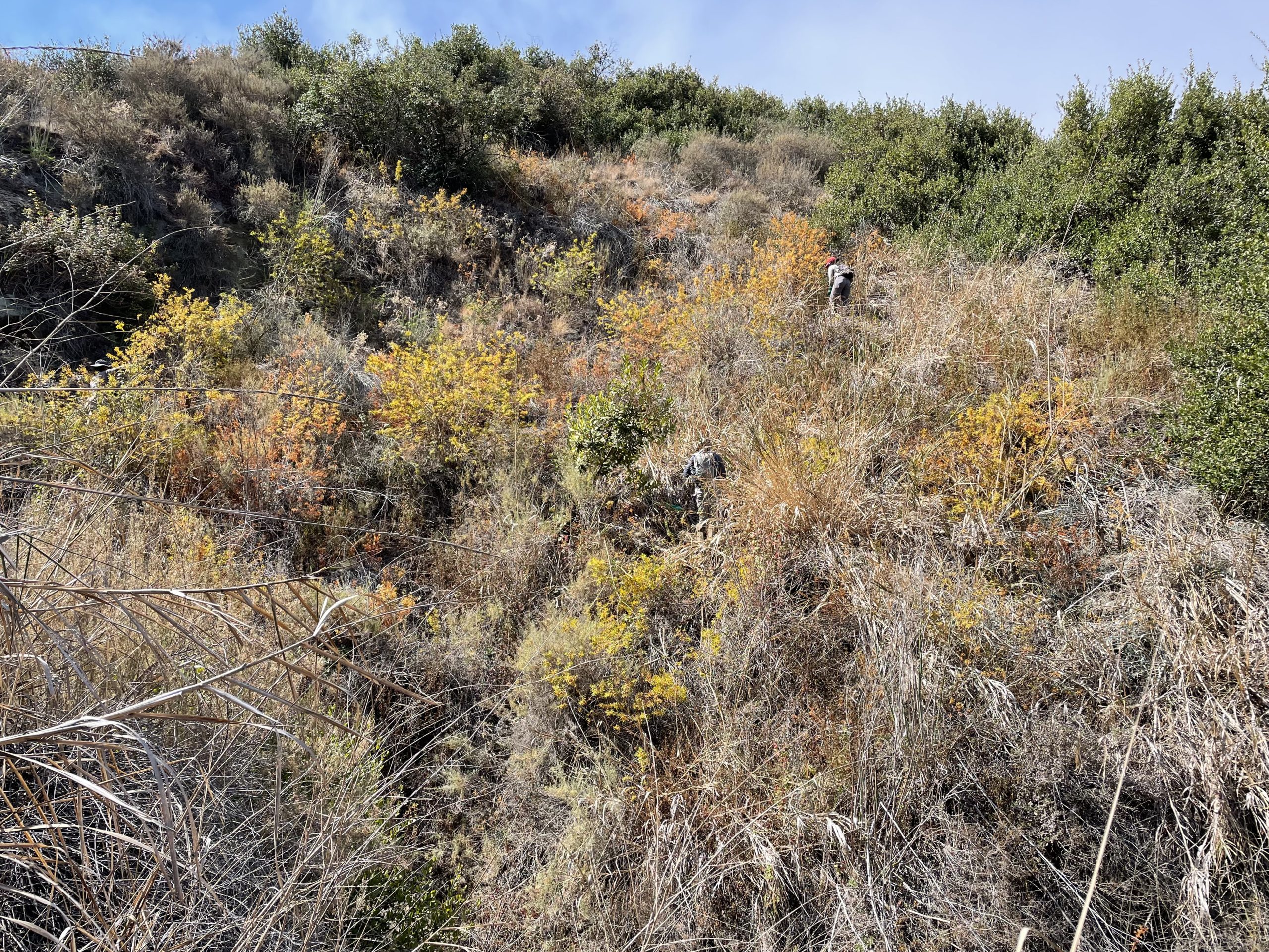
Here at Laguna Canyon Foundation, we use a special GIS tool called Field Maps, which allows our field crews to work with LIVE data – as soon as the crew inputs the data location, other crews are able to see it and access it immediately. Laguna Canyon Foundation can input data such as the location and abundance of an invasive plant species, like Canary Island St. John’s Wort, or notice the calls of a threatened species such as the California Gnatcatcher, or even report the volume of work done by the crew and its location.
GIS is critical for the work we do to preserve our wilderness, watersheds, and natural resources. Check out LCF StoryMaps below to virtually visit one of our active Conservation projects in Laguna Beach removing the invasive plant known as Canary Island St. John’s Wort through an immersive StoryMap experience!